
Plan Your Journey
Everything You Need
to Take the First Step
The Route
Thirteen Stages,
One Great Journey
Walk the full route or choose individual stages. Each section is rewarding in its own right — there is no wrong way to walk The Whithorn Way.
Glasgow → Paisley
13.5 milesCity streets, riverside paths and parkland
Starting at Glasgow Cathedral, the route passes through the Merchant City and along the River Clyde, visiting Govan Old Parish Church with its remarkable collection of Dark Age carved stones, before arriving at magnificent Paisley Abbey.
Paisley → Lochwinnoch
10 milesNational Cycle Route 7, loch shores and woodland
Following the old railway line through countryside, the route passes Barr Castle and Castle Semple Collegiate Church — an unaltered example of a 16th-century family church — before reaching the wildlife-rich shores of Castle Semple Loch.
Lochwinnoch → Kilwinning
13 milesCycle track, village walking and parkland
Bird enthusiasts may wish to start at the RSPB reserve at Lochwinnoch. The route passes the remarkable Auld Kirk of Kilbirnie with its carved oak loft, before arriving at Kilwinning Abbey — colonised by Tironensian monks around 1100 and still home to an ancient archery tradition.
Kilwinning → Troon
12 milesCycle track, riverside paths and sandy beach
The route crosses the River Irvine and passes through Irvine, where traces of early pilgrimage survive in place names and holy wells. Mary Queen of Scots stayed at Seagate Castle here on her way to Whithorn. The stage ends with a glorious walk along the beach to Troon.
Troon → Ayr
9.5 milesCoastal path, beach and town centre
Hugging the Ayrshire coast past Scotland's great golf courses, the route passes Prestwick's early saltpan houses and the remains of a leper house endowed by Robert the Bruce, before entering historic Ayr and the Auld Kirk.
Ayr → Maybole
14.5 milesCoastal path, Carrick Hills and quiet roads
A visit to Alloway — birthplace of Robert Burns and setting of Tam O'Shanter — is unmissable. The route follows the Ayrshire Coastal Path to Dunure's picturesque harbour and ruined castle, then climbs the Carrick Hills with views to Arran, the Mull of Kintyre, and on clear days, the Antrim coast.
Maybole → Girvan
12 milesRoadside walking, beach and coastal paths
Maybole, once capital of Carrick, retains its Kennedy tower house on the High Street. The route passes Crossraguel Abbey — a daughter house of Paisley with a remarkably preserved gatehouse and dovecote — and the village of Kirkoswald, associated with Robert Burns, before reaching Girvan harbour.
Girvan → Colmonell
13 milesCoastal cliffs, high-level paths and river valley
The coast south of Girvan is a paradise for geologists and fossil hunters. The route runs high above the shore with panoramic views of Ailsa Craig — the world's only source of granite for top-quality curling stones — before turning inland through the dramatic Stinchar valley.
Colmonell → Barrhill
10 milesUndulating countryside, woodland and off-road tracks
Colmonell Parish Church contains one of the finest examples of Arts and Crafts stained glass in Scotland. The route follows the south side of the River Stinchar on off-road tracks, passing ruined Pinwherry Castle, before descending to Barrhill — the most southerly railway station on the route.
Barrhill → New Luce
13 milesOpen moorland, minor roads and conifer plantations
The route starts at the Martyrs' Tomb — a monument to two Covenanters shot in 1665 for possessing Bibles. The lonely moors above Barrhill are rich in Bronze Age cairns and barrows. Near the route stand the Laggangairn standing stones, later inscribed with crosses by Christian pilgrims heading to Whithorn.
New Luce → Mochrum
25 milesUndulating roads, moorland tracks and minor roads
The longest stage, best split over two days with an overnight at Glenluce. The route passes the remote Cistercian Glenluce Abbey — the "Valley of Light" — with its remarkable Chapter House acoustics, then crosses the Machars peninsula past Iron Age crannogs and the Old Place of Mochrum, two conjoined tower houses.
Mochrum → Whithorn
9 milesFlat minor roads through the Machars
The final approach to Whithorn passes the White Loch of Mochrum, said in folklore to have healing powers, and the Monreith estate where James IV stayed on his way to the shrine. The route enters Whithorn through St John Street, arriving at the Pend — the ceremonial gateway to the Priory where pilgrims have gathered for over a thousand years.
Whithorn → Isle of Whithorn
8 milesOff-road path, cliff-edge walk and coastal path
A new off-road section leads from the Priory to Rispain Camp — an Iron Age settlement once mistaken for a Roman fort. The route descends through Physgill Glen to St Ninian's Cave, where thousands of pilgrims since the 8th century have left crosses in the rock. A cliff-edge walk leads to the Isle of Whithorn and its 14th-century pilgrim chapel.
"The path asks nothing of you
but that you keep walking."
Where to Stay
Accommodation
Along the Way
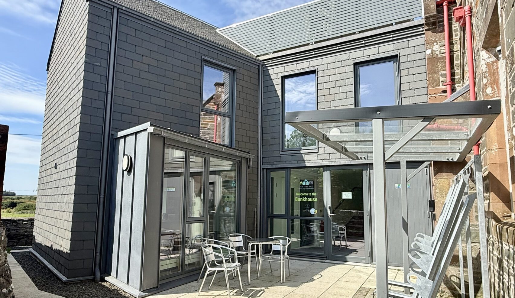
A warm welcome awaits at the end of every stage. The route passes through towns and villages with a good range of accommodation — from traditional Scottish B&Bs and guesthouses to bunkhouses, camping, and self-catering cottages.
On the more remote stages — particularly Barrhill to New Luce and the long Stage 11 from New Luce to Mochrum — the official route guidance recommends booking accommodation well ahead and carrying food and water. The Stage 11 stretch of 25 miles is best split over two days with an overnight at Glenluce.
The official Whithorn Way Guidebook includes a full accommodation list for every stage of the route. Available from the Whithorn Trust shop for £12, or get in touch and we can point you in the right direction.
What to Bring
Packing for the Walk
Scotland's weather is famously changeable — preparation is everything. Pack light, pack smart, and always be ready for rain.
Footwear
- —Waterproof walking boots (broken in)
- —Lightweight camp shoes or sandals
- —Wool or merino hiking socks (multiple pairs)
Clothing
- —Waterproof jacket and trousers
- —Warm mid-layer (fleece or down)
- —Moisture-wicking base layers
- —Hat, gloves and buff (even in summer)
- —Sun hat and sunscreen
Navigation
- —Printed route maps or guidebook
- —Compass
- —Fully charged phone with offline maps downloaded
- —Portable power bank
Essentials
- —First aid kit including blister treatment
- —Water bottles or hydration bladder (2L minimum)
- —High-energy snacks and emergency food
- —Headtorch with spare batteries
- —Emergency whistle
Overnight Kit
- —Lightweight sleeping bag liner
- —Earplugs (for shared accommodation)
- —Microfibre towel
- —Toiletries in a small dry bag
- —Pilgrim passport / credential (for stamps along the route)
A note on footwear: Good waterproof walking boots are the single most important item you'll bring. Break them in thoroughly before you set off — blisters are the most common reason walkers cut their journey short.
Common Questions
Everything You
Need to Know
Still Have Questions?
We're Here to Help.
Planning a pilgrimage walk is a big step. Whether you need advice on a specific stage, help finding accommodation, or just want to talk through your plans — get in touch. We'd love to hear from you.